
© The Quince Tree Press -
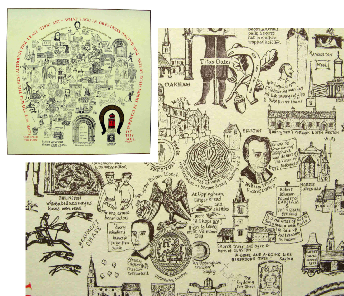
Carr's County Maps are historical, architectural and eccentric. Printed on quality
card with dimensions about 18" by 24" (size dependant on county shape), designed
for framing and conversation. The Maps are in several colours and numbered in limited
editions. They are based on pre-
Only those listed below are still in print.
All Maps retail at £15 each
the collection includes maps of the following counties:
Berkshire
Cheshire
Cornwall
Derbyshire
Devon
Durham
Essex
Hampshire
Cheshire
Cornwall
Derbyshire
Devon
Durham
Essex
Hampshire
Herefordshire
Kent
Lancashire
Leicestershire
Lincolnshire
Middlesex
Norfolk
Northamptonshire
Kent
Lancashire
Leicestershire
Lincolnshire
Middlesex
Norfolk
Northamptonshire
Northumberland
Rutland
Staffordshire
Suffolk
Westmorland
Wiltshire
Worcestershire
Rutland
Staffordshire
Suffolk
Westmorland
Wiltshire
Worcestershire
THE COUNTY MAPS

The county of RUTLAND